New animated video
Watch Nagaland in 3 minutes
The whole deck as one short animated video. Watch it first, then open the slides and take the quiz.
- Every topic in the deck: 90 facts, one quick scene each
- Drawn pictures with cute faces, and sound effects you can mute
- Pick a speed from 0.5x to 2x
- Pause any time to read a fact twice
Overview
About the Nagaland pack
The Nagaland pack covers the whole state, a topic at a time, from festivals to famous people and current affairs, and ends with a revision round.
- 19 presentation slides, a topic at a time
- Quiz Me: 30 questions on the state page, a fresh mix every time
- A 3-minute animated video of the whole deck
Open the slides
Free for everyone. All 36 decks on the India map open without paying or signing up.
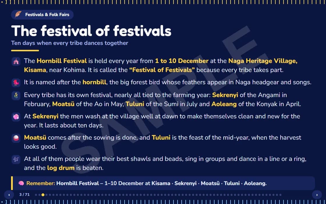
A real slide from the deck
Quick facts
Quick facts about Nagaland
- Capital
- Kohima. The biggest city is Dimapur
- Language
- English is the only official language. People at home speak many Naga languages, and Nagamese is the common link language
- Formed
- 1 December 1963, India's 16th state. That day is Nagaland Statehood Day
- Districts
- 17. The newest, Meluri, became a district in November 2024
- Neighbours
- Myanmar to the east, and Assam, Arunachal Pradesh and Manipur inside India
- Highest peak
- Mount Saramati, about 3,826 m, on the Myanmar border
Test yourself
Quiz Me
30 questions on Nagaland, a fresh mix every time you play. Answer one at a time and see why straight away.
Fly through 30 questions on Nagaland
- A fresh mix from the state's 100 questions, every round.
- See the right answer and why, straight away.